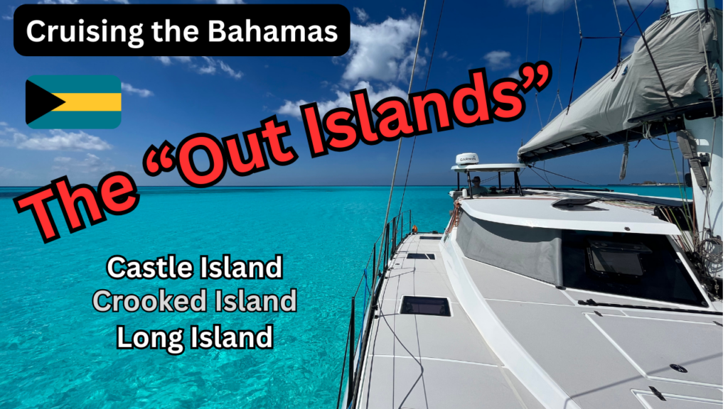
Since we are heading back to the states from the Caribbean, Turks and Caicos in particular, the Bahamas and it’s over 700 islands, cays and islets, each with it’s own charm, will provide us with lots of diverse options for beautiful fun stops that will include wind and wave protection as we cover the remaining 600nm to Florida.
But First, A Little Bahamian History
The Bahamas offers a rich mix of history, natural beauty and the opportunity for adventures both immersed in the island culture. It’s history actually dates back centuries. The original inhabitants, the Lucayans would navigate the islands by canoes, at least until 1492, the Columbus made landfall (on San Salvador Island) and marking the islands as the “Gateway to the New World”.
Within 25 years, the indigenous peoples were decimated by disease, slavery and harsh treatment at the hands of European colonizers, mostly Spanish. The islands then became a pirate haven throughout the 1600 and 1700s. Nassau was once called the “Pirate Republic, and home to many famous pirates, including the infamous Blackbeard.
The 1800s brought about British colonization and resettled thousands of American Loyalists to the Bahamas; they brought enslaved Africans and their descendants with them, which ended up being the majority of the population from this period on. Slavery was abolished on the islands in 1834. Liberated Africans and North American escapees reached the Bahamas in droves. The island then become independent from the UK in 1973, and today Black Bahamians, with their rich culture and history, now make up 90% of today’s population.
Now, the islands have evolved into a premier sailing destination due their crystal clear waters, ideal conditions, and rich marine life combined with the local cultural flavor, known for its regattas, cruising communities, and charter culture.
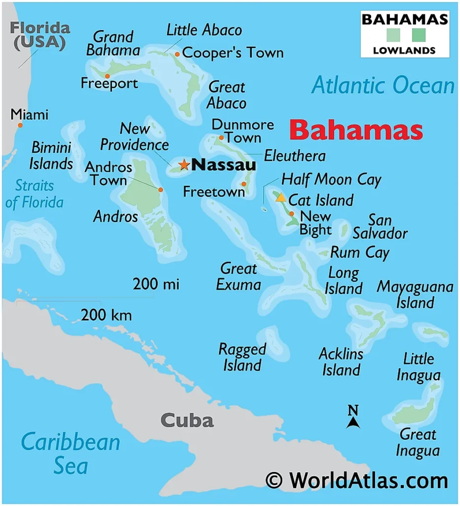
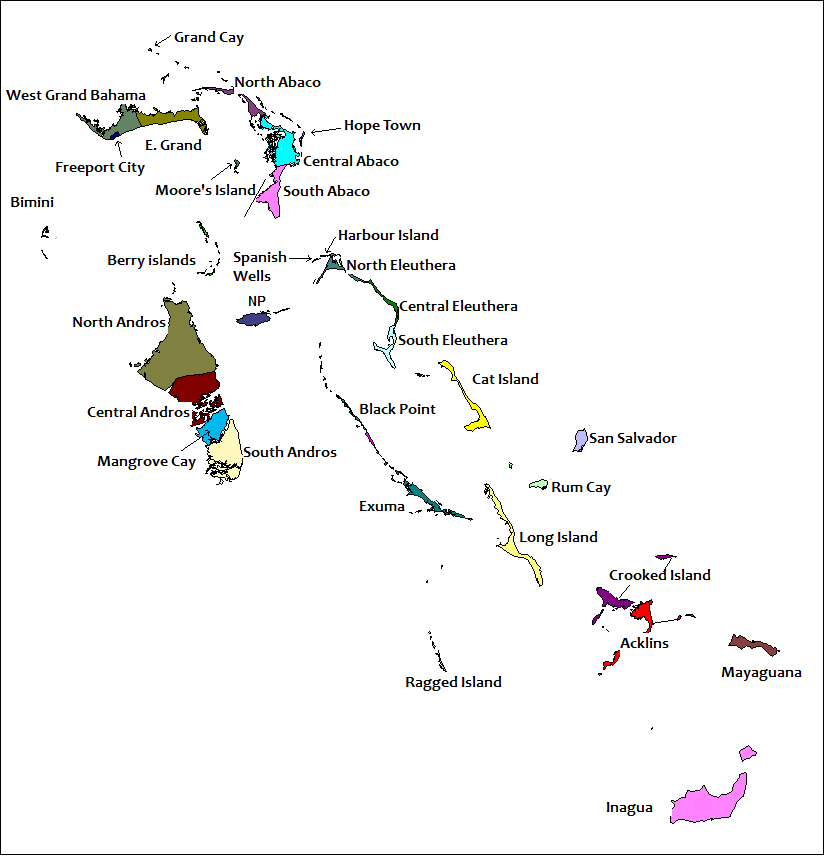
The Bahama Islands can be grouped into several distinct regions or groups, including the Abacos, Andros, Bimini, the Berry Islands, the Exumas, Grand Bahama, the Family Islands (also known as the Out Islands), and New Providence. These groupings reflect the islands’ geographic location, cultural characteristics, and economic activities.
Arriving in the Bahamas Outer Islands
As we head east to west through the island chain, the first islands we come to are known as the “Family Islands” or more commonly the “out or outer Islands.” This grouping includes all the smaller islands located south and east of larger more prominent islands of New Providence and Grand Bahama and include Eleuthera, Cat Island, Long Island, and many others that get more remote and isolated as the farther westward you get. Bypassing Inagua for time and distance, the first set of islands we arrived upon were the Acklins.
The Acklin Islands
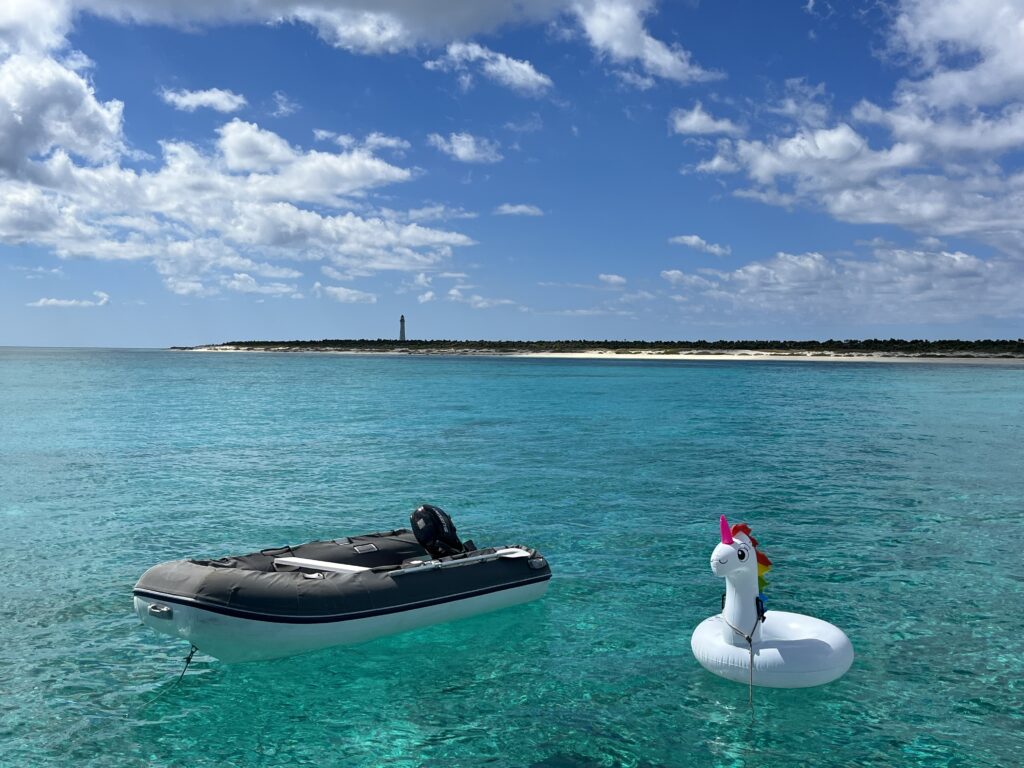
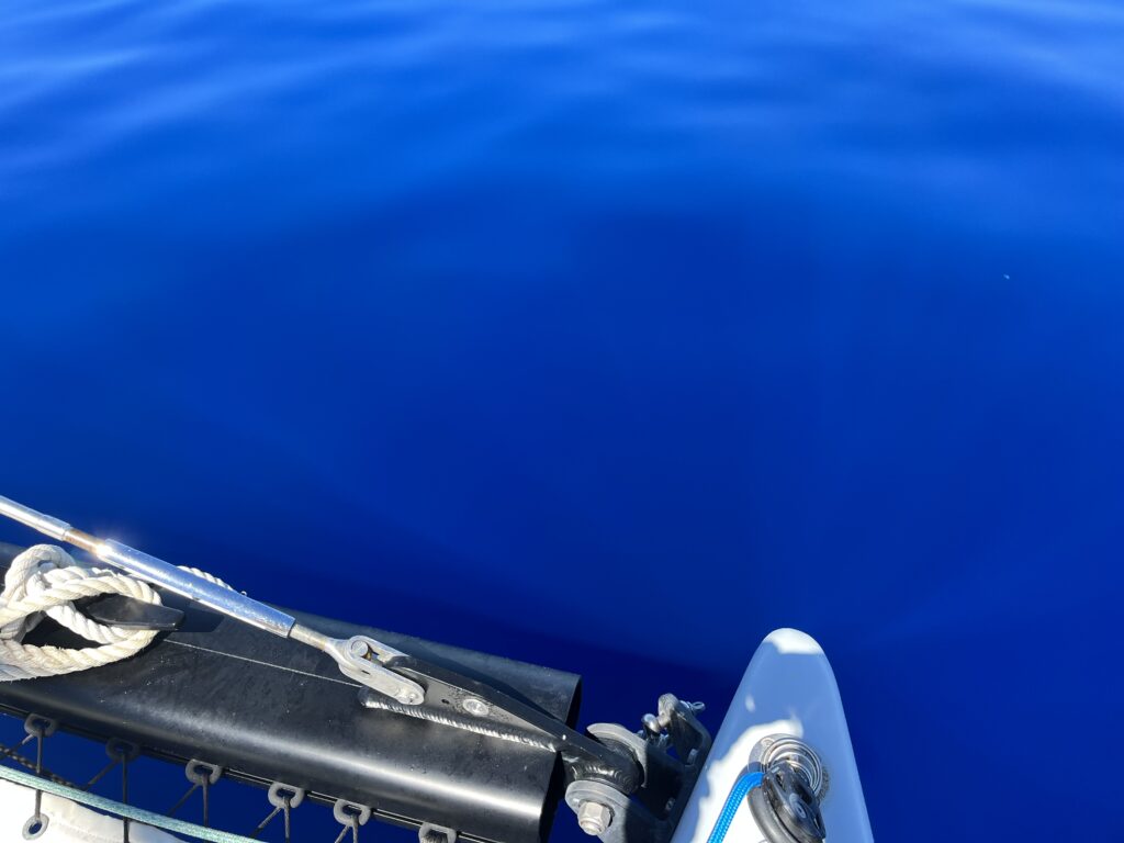
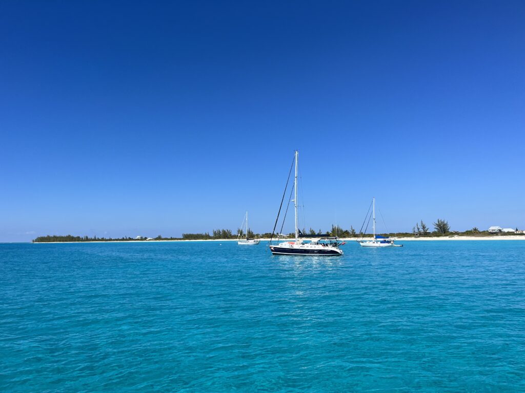
The islands of this atoll are made up of the Acklins, Crooked Island and Long Cay. They are unspoiled, sparsely populated, and mostly undisturbed. The islands curve around a 1,000 sq ft lagoon known as the bight. The waters around the islands themselves are shallow! Being used to 5m+ in the Med and Caribbean in most places, this was definitely the shallowest water we have had to navigate for anchoring to date finding our selves in 2-3m often! It took a little getting used to.
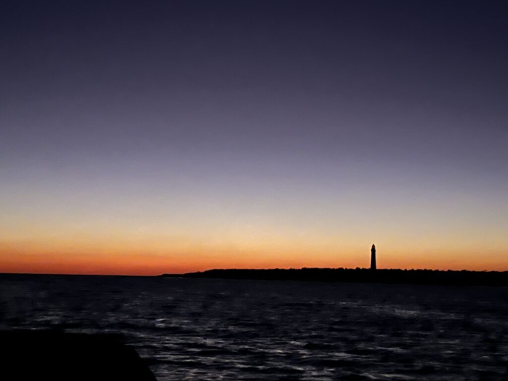
Castle Island (Feb 2023)
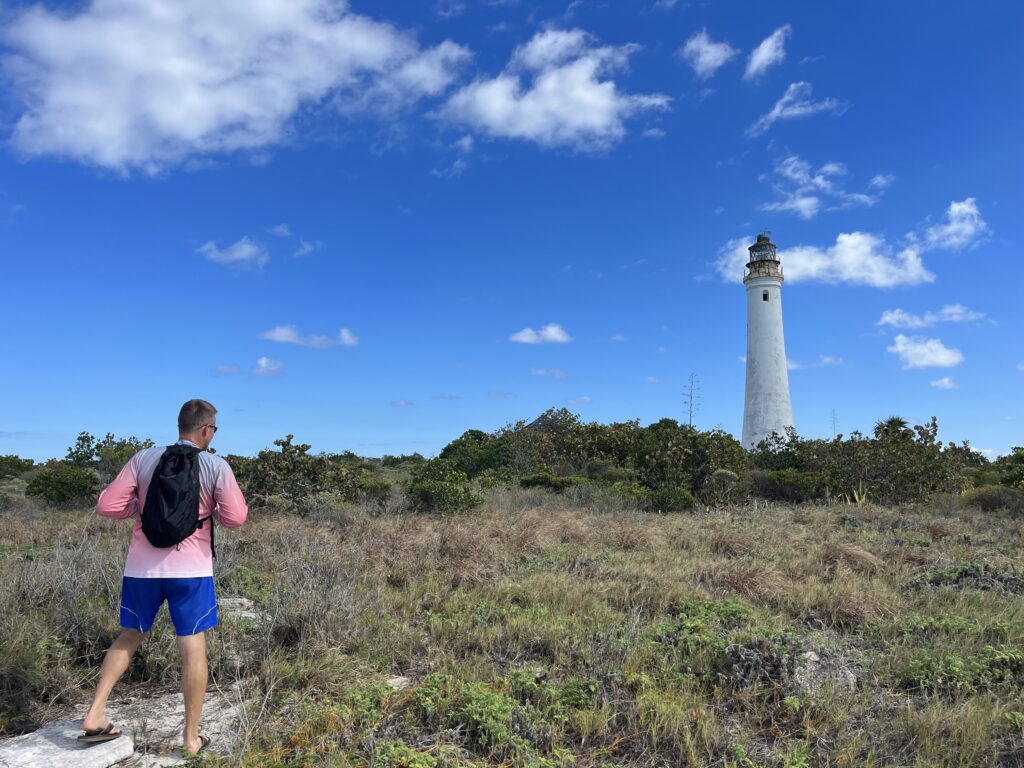
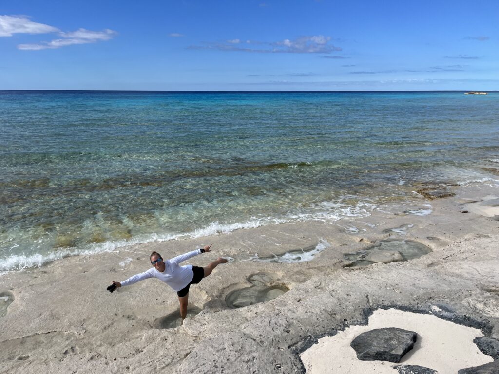
After departing Provo in Turks & Caicos, we sailed along over night on our Reefed Main and Jib covering 123 miles in about 21 hours. We skipped Inagua, the first island you come upon when sailing Northwest through the islands, mostly to get some more distance under out belts that day. Our first planned stop was the incredibly remote Castle Island at the southern most tip of the Acklin Island chain. An island that can ONLY be reached by boat. Research says Castle Island once played host to pirates who would attack ships along the nearby Crooked Island passage. Now it is an unspoiled, completely unpopulated island.

We settled into the anchorage on the south side of the island which provided excellent protection in about 3m of crystal clear water with views of the now-abandoned lighthouse and a wide pristine beach. Looking back, this still might be the most remote and secluded anchorage we have ever been to, at least on the first two nights when we had the anchorage and whole island ALL TO OURSELVES 😉
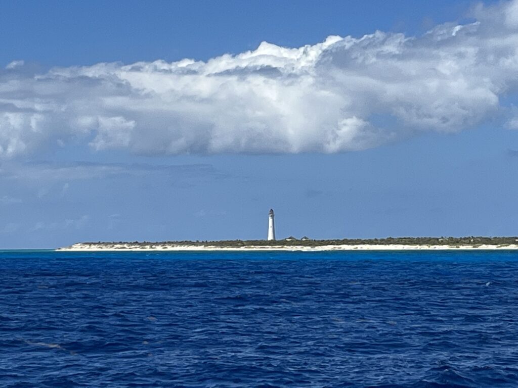
As mentioned, Castle Island’s most notable feature is the 1867 lighthouse and keepers houses which dominate the view. You really can see it miles out on your sail in. A little history and a little creepy!
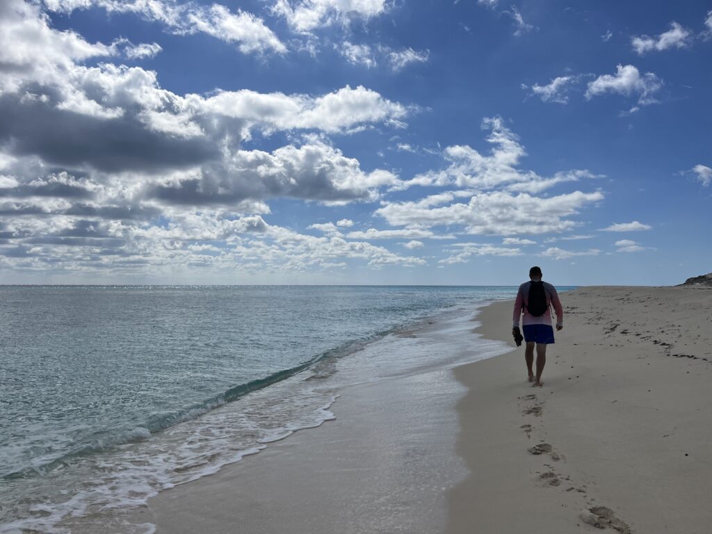
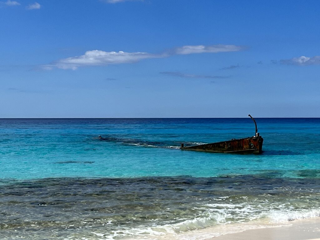
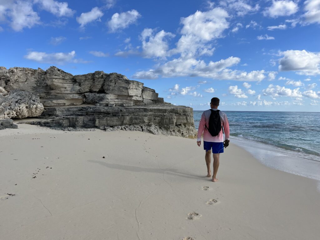
The next day we snorkeled under the boat where we found lots of little ledges and holes to explore. Most were lined with some coral, sea grass, small fishes and fun little invertebrates. Later, we took a hike around the island and took in the natural beauty and quiet. We did see a very rusted wreck of a Belizian freighter just off shore around from where we anchored that would have been fun to snorkel had we brought our gear. We tried to hike up to the abandoned lighthouse and other remaining structures for a closer look, but sadly the overgrowth and rusted leftovers of a pulley system presented a rough trip inland. We decided against it in our flip flops. No need to get tetanus on a remote island. Seems like a bad way to go.
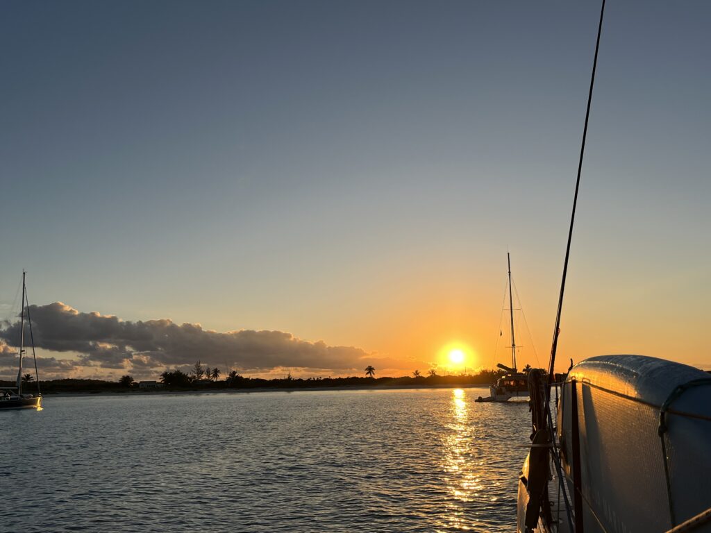
Sadly our solitude was short lived as another catamaran rolled in. That night we were lucky in our sunset giving us a beautiful and elusive “green flash”, the fleeting green glow that is sometimes seen as the sun dips below the horizon. Which the gentleman on the neighboring boat announced very loudly hooting and hollering for quite some time. Maybe it was his first one? I get it, it’s very cool 🙂
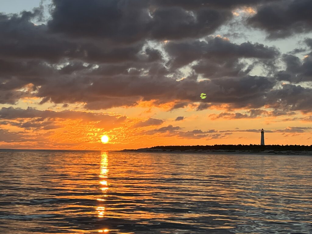
Nerd Alert: Yes, green flashes are real and not myth or optical illusion. The phenomenon is caused by the Earth’s Atmosphere refracting (bending) the sun’s light due to the slight temp and density in the layer of the air. The denisty closest to the horizon is the thickest and refracts the most light. The longer wave lengths (red/yellow) are absorbed and the shorter (blue/violet) are scattered. So what is left? The mid-range green! Which is refracted just enough to be visible momentarily as the sun disappears over the horizon. The best conditions are clear skies, a flat horizon and ideal atmospheric conditions. So far, in world travels, I have only seen them on occasion off the Florida Keys and in the Bahamas.
This is still one of our favorite stops of our now 3 year journey.
Crooked Island
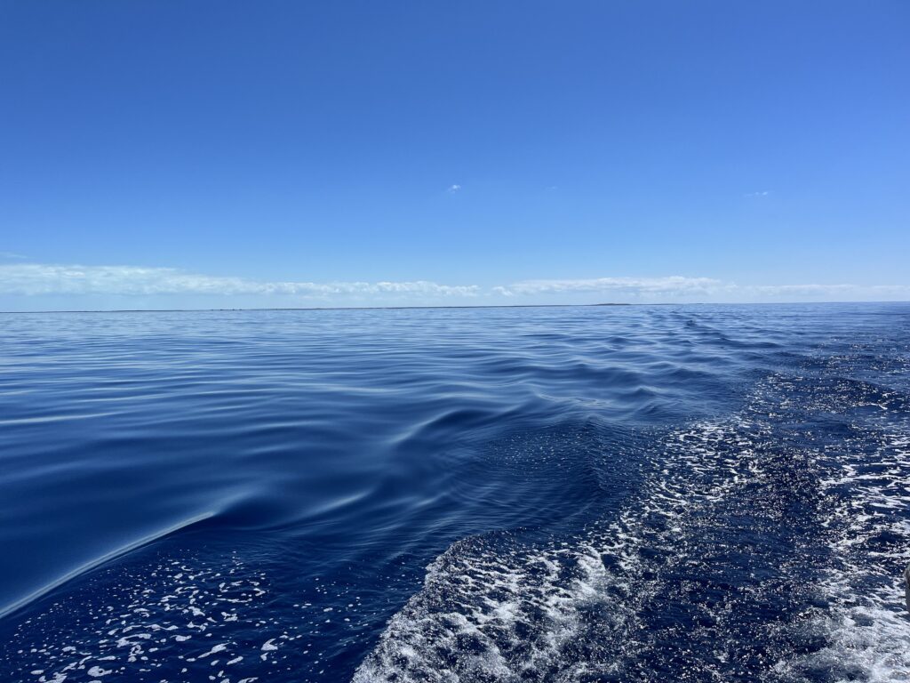
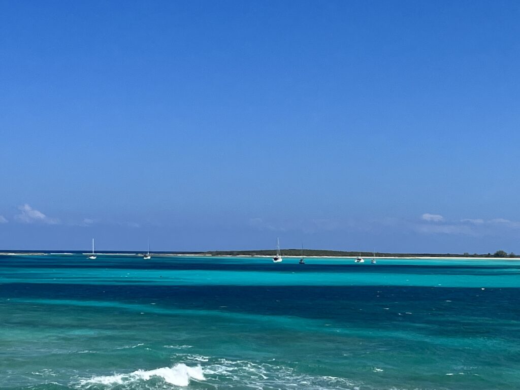
The following day, we sailed (Spinnaker) until the winds went completely dead and motored on a sea of glass for 44 miles hours up the west side of Crooked Island, the largest island of the Acklins in the North at 76 sq miles and anchored in 3m of water just south of Pittstown at Landrail Point. This island is also fairly quiet and secluded, but is reachable by air (Colonel Hill Airport) or by twice-daily ferries from Ackins, so has some infrastructure and about 350 residents.
Crooked Island has a rich history of having been a major cotton producer (there is an old plantation in Hope House at Landrail Point) and it was home to the Bahamas’ first general post office.
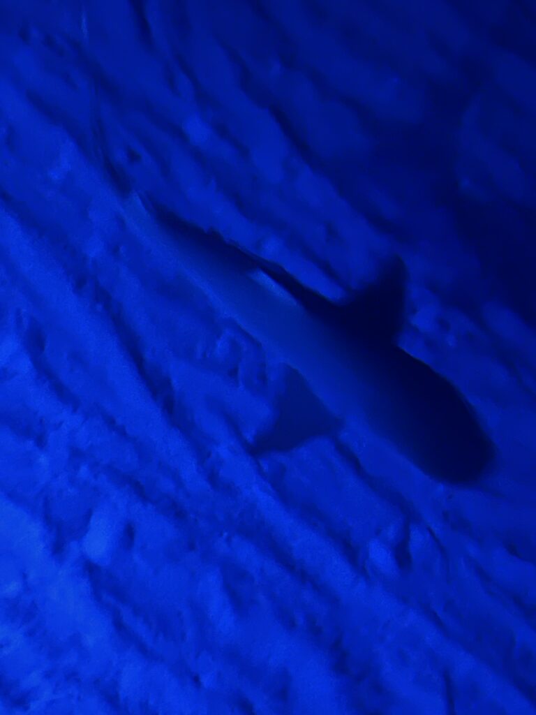
The first night, while enjoying the incredible natural quiet and ALL THE STARS, we were greeted by our first visitors, a couple of nurse sharks…no, 2 sharks!! Needless to say we were super excited by their arrival. It was fun to watch them circle under the boat. We were so enamored with them that their presence provided us with at least two hours of entertainment! What can I say, life is VERY simple out in the middle of nowhere!
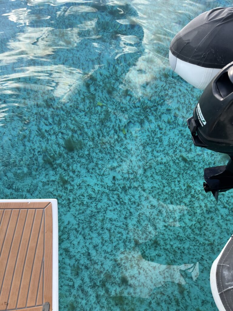
We spent 2 nights here and while we didn’t go ashore, the absolute highlight of our stay here was a dinghy ride down through French Wells Channel and into the unspoiled mangrove-filled “Turtle Sound”. The key to success here is to take this journey at prior to the start of high tide, head in and then ride the out going currently out, don’t linger too long, we stayed a little over an hour as the entrance shallows out fairly quickly and you might find yourselves walking to drag the dinghy out. Not that we’d know 😉 We also might not have arrived until after high tide.
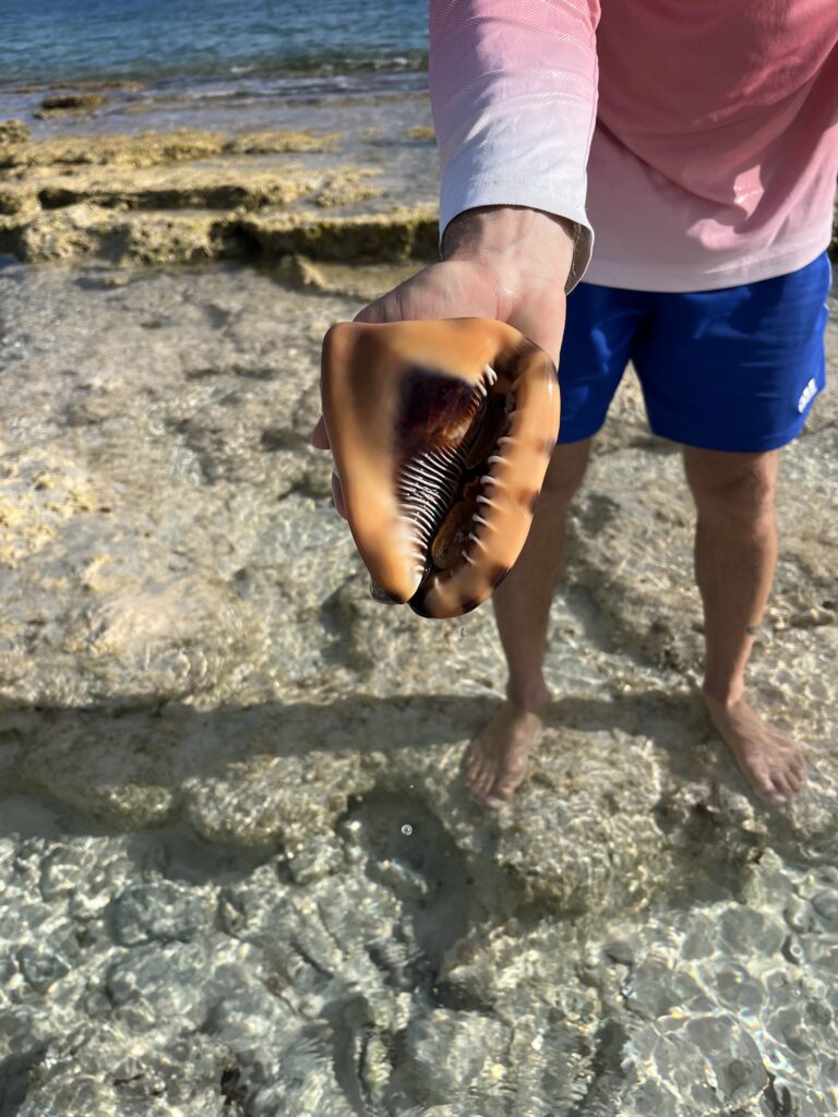
Afterword we stopped for a quick snorkel just outside of the French Wells Channel. There wasn’t a lot of fish life, but there was a lot of coral and sponges. The water was clear and warm so we swam around for a bit before returning to the boat to prep for the long sail in the morning up to Long Island.


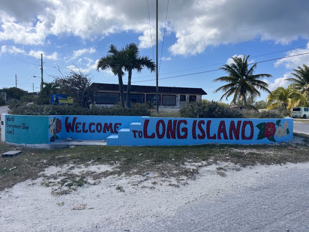
Long Island – Clarence Town
From the northern end of Crooked Island, we raised the spinnaker and sailed along slowly 42 miles around the southeastern side of the next major island, Long Island, through Sandy Point and into the well protected Clarence Town Harbor. Here, we anchored about 4.5 meters of water. The first night was a bit gusty from the NW so it was very rolly, but once the winds settled down more the east, it calmed considerably.
Long Island, about 80 miles long 4 miles wide at it’s widest point, is often considered one of the most scenic islands in the Bahamas. The island is noted for it’s natural beauty found in steep rocky headlands in the north and broad white beaches in the south. It is littered with caves and is home to the world’s second deepest underwater sink hole, Dean’s Blue Hole. It is located just west of Clarence Town and drops to a depth of about 200 meters, which is more than double most other large holes.
Fun fact: In case you are like me and now wondered where the deepest hole is, let me save you some research. The deepest blue hole is located Belize. At 420 meters, Taam Ja’ Blue Hole in Chetumal Bay located in Northern Belize and southeaster Mexico. You are welcome! https://en.wikipedia.org/wiki/Chetumal_Bay
Anyway, speaking of Clarence Town, it is located on the south-central portion of the island and has a whopping population of just over 80 people. The whole island boasts just over 3,000 inhabitants. Just further north is the island’s hub and airport at Deadman’s cay. You can fly to and from Nassau… And bonus, it is a Customs and Immigration stop! Finally.
Here in Clarence Town, we found ourselves in the most crowded anchorage we have been in over the past few weeks, but there was plenty of room for everyone. A short dinghy ride to Flying Fish Marina, and we were able to finally officially check in to the country. The C&I officer was friendly, but all business! He got us squared away and out the door in about 20 min. There was a number of very fancy off-shore fishing boats at the dock and the crew were very friendly chatting with us about sailing and fishing in the area. Fishing tourism a huge industry here. There was also a nurse shark (and others) feeding frenzy happening at the docks, chowing down on all the scraps the fisherman provide on their return. It was quite the sight.


After checking in we stayed and had some drinks and appetizers at the Marina restaurant, Light House Point. It was a charming second floor open air restaurant with amazing views. The server was friendly and the food decent, if not a bit overpriced for even Bahamian standards. I had the fish tacos, hadn’t had some in quite awhile, so it was a treat. They were fresh & delicious!
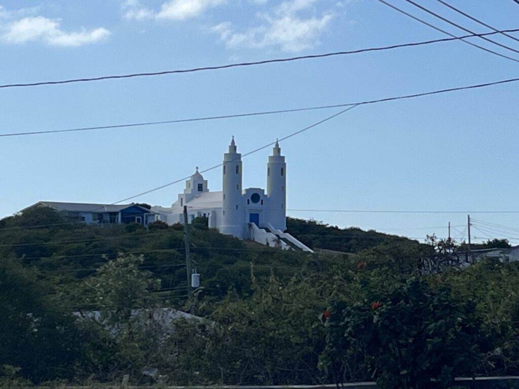
The following day, we explored the town for a bit to stretch our legs. We started at the marina and started our walk up Hill St. The most prominent building was a large white church that sits a top the tallest hill. We made that our initial goal. St. Peter & St. Pauls Catholic Church was designed by Father Jerome Hawes in 1911 and wasn’t completed until almost 1947. The church with it’s twin 40-foot towers is one of the most well known landmarks in the Bahamas. Mariners have used it as guide into Great Clarence Town Harbor.
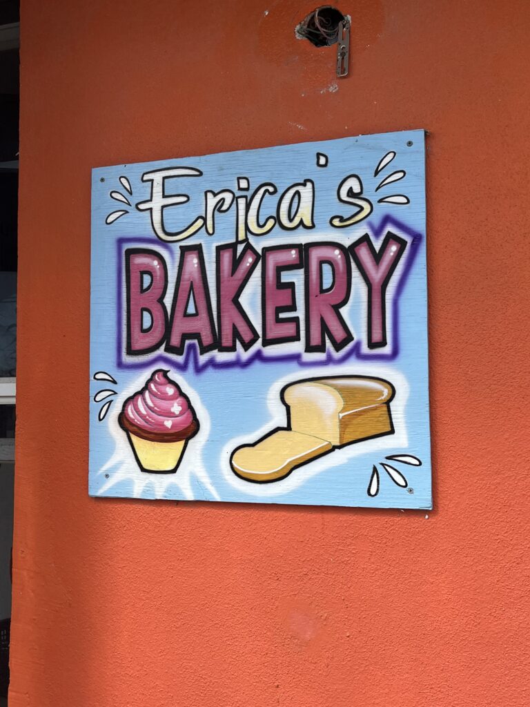
We then made our way to Erica’s Bakery…okay this may really have been our primary goal. Because bread. We ended up with some amazing rum cake and banana bread. If you end up here…you definitely need to stop by and get some of her baked goods. Perfection, and easy on the wallet!
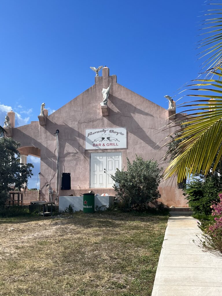
And finally, we hit the Rowdy Boys Bar and Grill. It was a quiet afternoon in this little simple out of the way place, but we were able to grab a quick snack and a beer. Staff was friendly. If you want to get a quick dip in, they do have an Oceanside pool ready to go!
Next Stop: Conception Island and the North end of Long Island
Discover more from Water Wings Sailing
Subscribe to get the latest posts sent to your email.