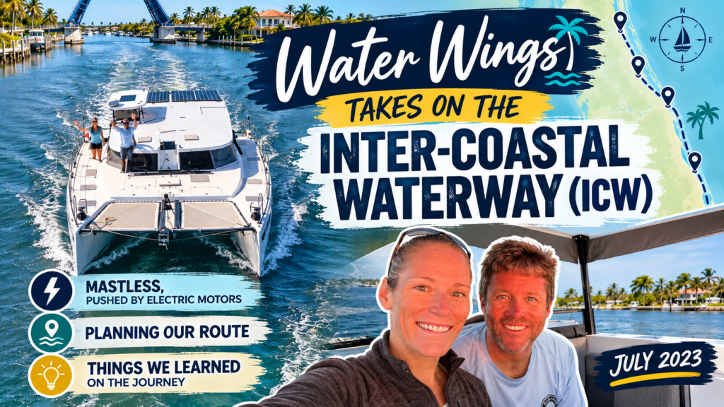
If you’ve been following along with our Tale of Many Motors saga, first, thanks for sticking with us! After weeks that turned into months at Lauderdale Marine Center, we just HAD to get back in the water and off the dock. Our savings accounts were screaming! We’d managed to fix most of our problems, but one last issue was still hanging around. Because, of course it was.
Where We Left Off…
Prior to departure, we’d installed a new starboard saildrive leg (amongst a pleathora of other OceanVolt motor parts and pieces). Then after some back and forth with Finland, it passed the initial out-of-water tests. Once back in the water, however, the motor wasn’t behaving. It was making a strange garbling sound and wasn’t delivering the quick, responsive thrust we had come to expect.
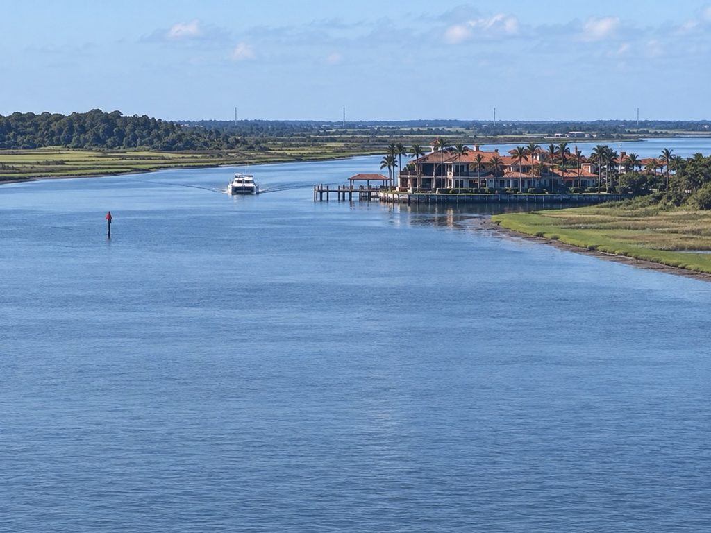
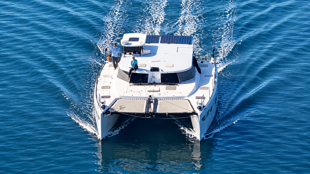
Rather than continue hemorrhaging money on steep haul-out and dock fees, we opted to take Water Wings back down the New River to Lake Sylvia, questionable motor and all, to await Oceanvolt’s thoughts and do some more troubleshooting. Navigating that river with a misbehaving motor with out a tow. Not particularly fun.
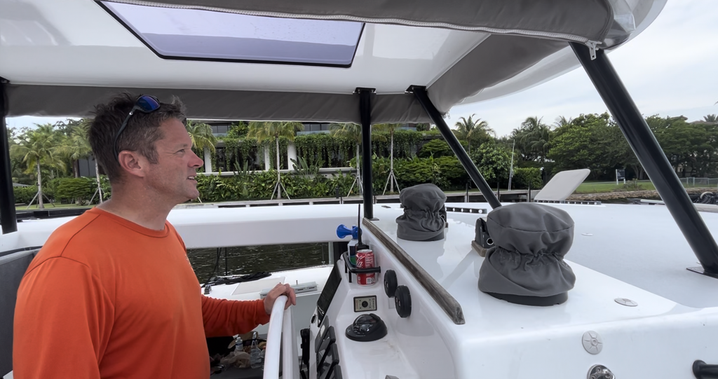
Navigating with a iffy-motor down the river was “eventful”
As it turned out, our final lingering issue was a relatively simple fix…and one that had likely been plaguing us since we took ownership of the boat without us even knowing it!
We discovered a sheared screw on the helicoil of the Oceanvolt motorhead. This tiny little troublemaker was preventing the pitch sensor from sitting flush in its intended position, meaning our propeller pitch had likely not been functioning properly since it was installed. Suddenly, our crazy passage through the Narrows of St. Kitts and Nevis made SO much more sense.
On a VERY long, sweltering morning in the July Florida heat (and ZERO help from Oceanvolt), we managed to figure this out ourselves, find a similar screw on board and fix the problem ourselves. We called Finland, they reprogrammed the props, and that was that. Hopefully.
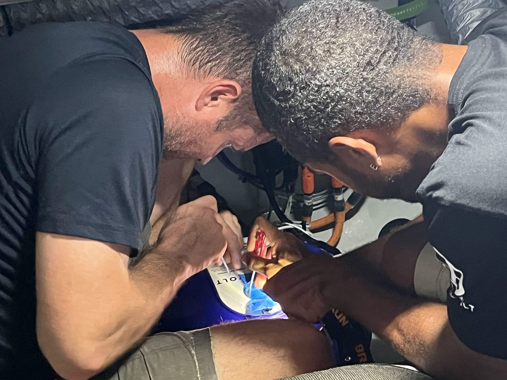
By noon, Kevin and I just looked at each other and thought, Welp…it’s either going to work or it isn’t. Let’s GO. Just get us somewhere other than HERE!
Why the ICW for our Route North?
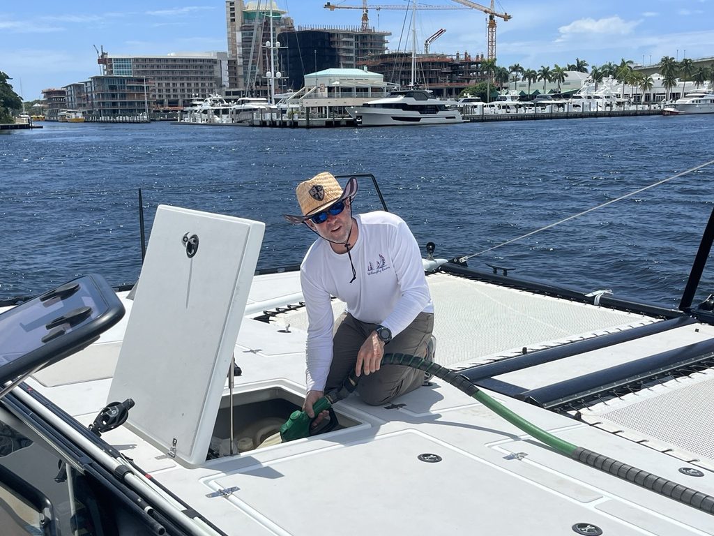
Leaving Fort Lauderdale felt like crossing an invisible finish line we hadn’t even realized we were racing toward. Months of repairs, delays, insurance extensions, and enough motor drama to fill an entire blog series, and we FINALLY had the big city of Fort Lauderdale in our wake. For the first time in a long while, our focus shifted from fixing the boat to actually cruising her.
So, we found ourselves at a new starting line. We were officially headed for Annapolis, where we would meet our new Sparcraft South Africa rig. We had a hair over 2 weeks to get north of Cape Hatteras to keep our insurance covering our asse(t)s…and we would be cutting it close without any surprises popping up along the way, so there would be no breaks for awhile.
We had two options…inside via the ICW or outside jumping between inlets. Inside longer and slower. Outside much quicker potentially. It was an easy decision with the mast removed (no sailing) and motors we didn’t particularly trust. The ICW is the much, much safer, more controllable option.
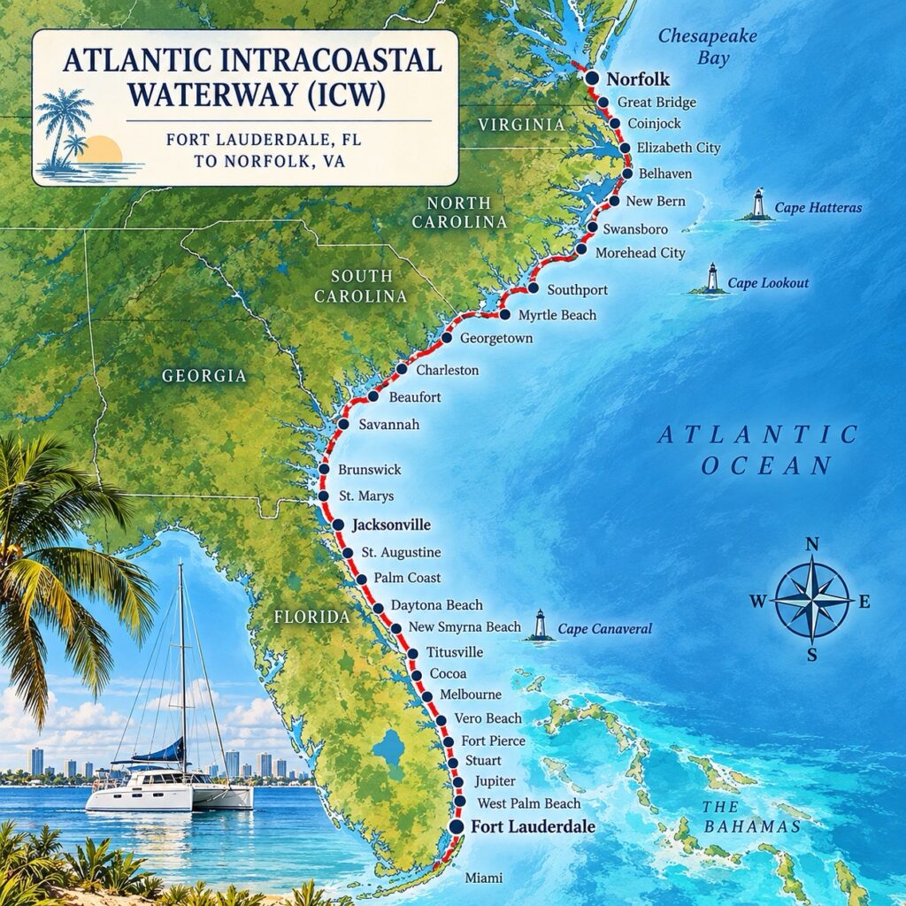
So, ahead of us lay 1200 miles of the snaking, winding, Intracoastal Waterway (ICW), a route we’d heard so much about but, with our former 72-foot mast height, would never have even considered an option. De-rigged (Why you ask?!), while not what we wanted to be doing, presented a very suddenly, very much attainable option for the ICW. Protected, scenic, and supposedly easier than heading offshore, with plenty of places to pull over should our motors decide to misbehave…again.
After everything we’d just been through, we figured the ICW would be the easy part. Spoiler alert: While it was a WHOLE lot less stressful than replacing electric motors, the ICW comes with an entirely different set of problems and challenges. Bridges, shoaling, skinny channels, crazy currents, impatient boaters…you get the picture.
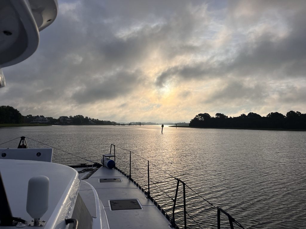
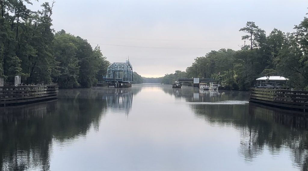
But it also offered something we hadn’t experienced in a long time: the chance to see a completely different side of cruising, winding our way through coastal towns, rivers, marshes, and stretches of America we’d never otherwise see from the water.
A couple of notes before we get started:
A note on mileage: When referencing certain locations along the ICW by Mile Markers (MM), distances are given in statute miles (SM), which is how the waterway’s mile markers are measured. They start with MM 0 in Norfolk, VA and end around MM 1243 in Key West FL.
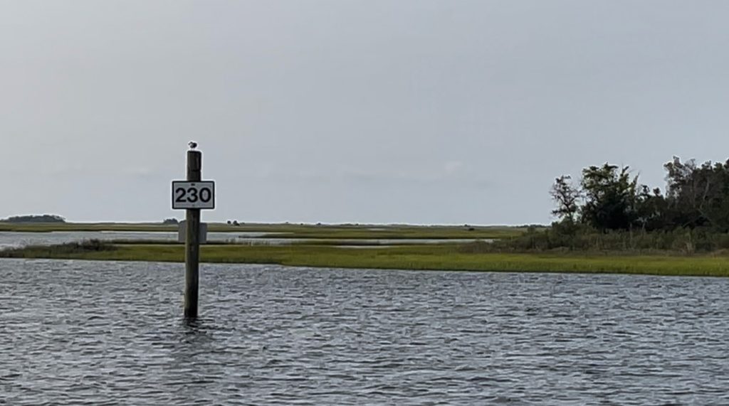
By contrast our daily distances traveled, are in nautical miles (NM), because that’s how we measure distance aboard Water Wings. So they may not always match. (if your a nerd and tracking the actual distances.)
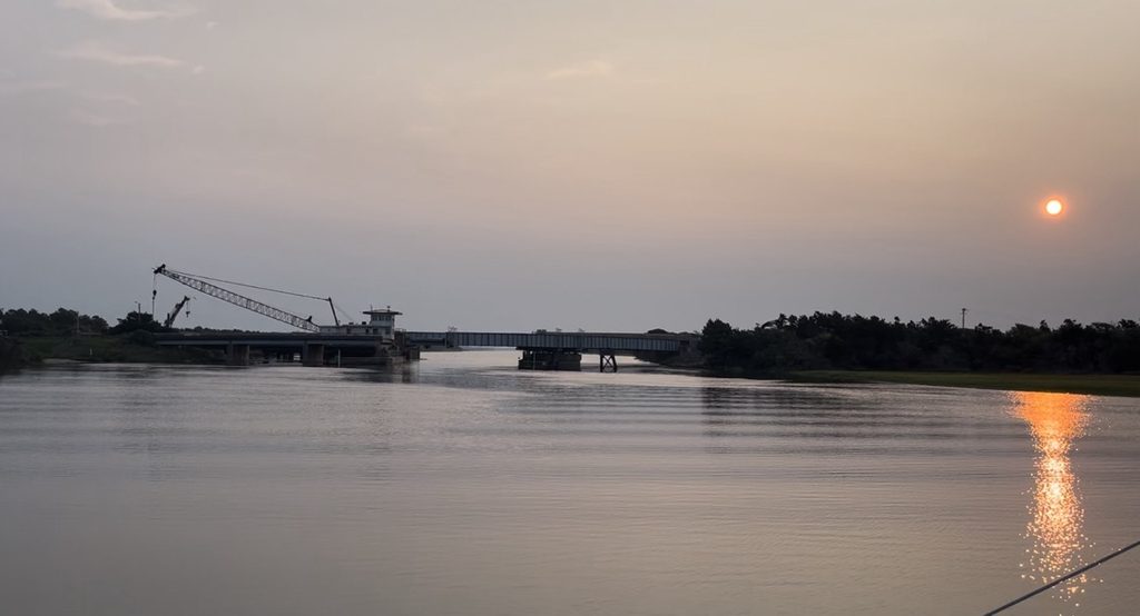
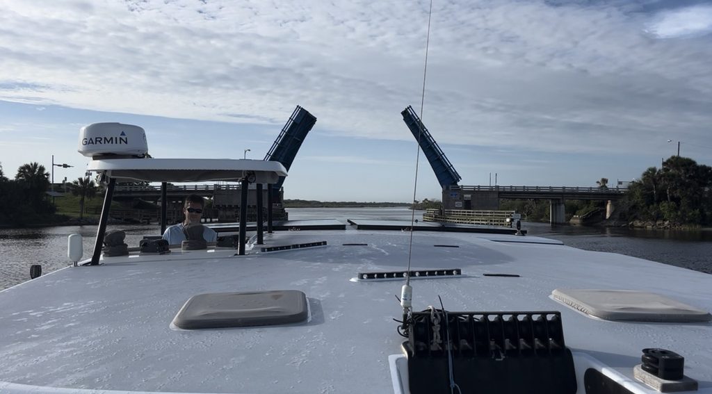
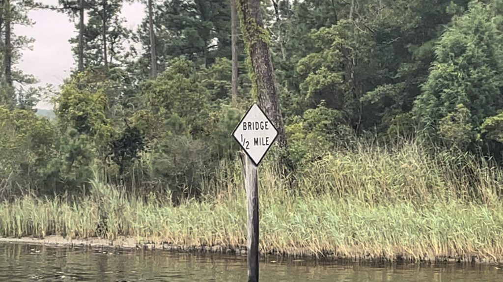
A note on bridges: Thanks to the removal of our mast and rigging, we only had to wait for bridges with less than 15 feet of clearance to open. This was a HUGE advantage and made our trip north considerably easier! For those cruising with a mast, bridge opening schedules, tides, and currents can play a much bigger role in daily planning and will slow you down a bit at times. Know your height and draft before you go!
Things We Learned Along the ICW (and a Few Things We Wish We’d Known!)
Before diving into the story of our 1,000+ mile journey north, we thought we’d share a few tips, tricks, and lessons learned along the way. Some we knew going in, others we figured out as we went, and a few we hadn’t even considered. The ICW may be protected from the open ocean, but that doesn’t necessarily mean it’s an easy ride!
1. Great Resources for Planning and On the Go — Worth Every Penny (Even the Free Ones!)
There’s no shortage of information out there if you’re willing to do a little homework. Here are a few resources we found invaluable, both when planning our route and while underway.
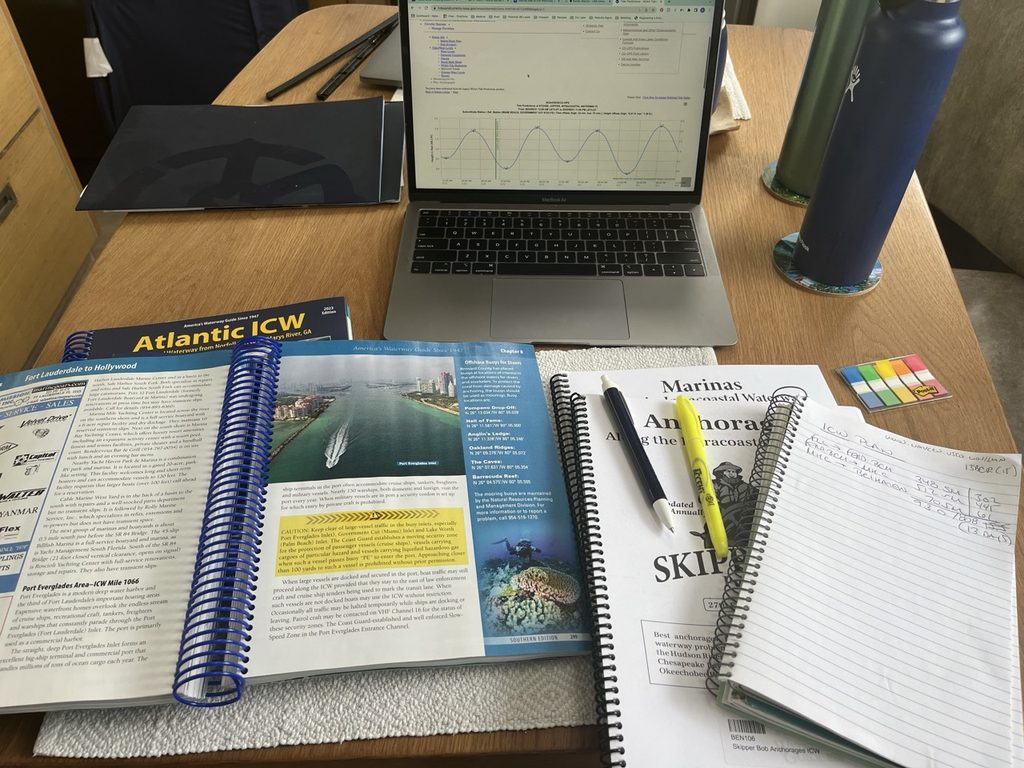
— Waterway Guide — We used both the printed guides and the website/app, the latter…CONSTANTLY. From up-to-date shoaling reports, bridge clearances and opening schedules to fuel prices, marinas, anchorages, and fellow cruisers’ reviews, it’s packed with useful information you can access on the go.
Some information is available for free, but at $9.99 per month at the time of this writing, the subscription was worth every penny! During our planning, I used it to identify tricky spots along the route and dropped warning pins into Navionics for areas with strong currents, notorious shoaling, or particularly shallow water. A little heads-up before getting into trouble spots is always a good thing! The physical guides can also be found on Amazon HERE.
— NoForeignLand — This free, crowdsourced cruising app and website is another fantastic resource. We didn’t have it during our ICW journey, but we use it EVERYWHERE now. It’s full of firsthand anchorage reviews, local services, interesting stops, and information shared by fellow cruisers. You can even follow friends’ journeys and message nearby cruisers to ask about current conditions or get local advice. Pretty handy. It is free, but we use it so much, we signed up for a monthly donation.
— Skipper Bob’s Publications — Don’t overlook these little gems! They’re packed with practical, no-nonsense information about anchorages, marinas, bridges, and navigating the ICW. I spent plenty of time going through them before our trip, identifying bridges we needed to be concerned about and creating waypoints in Navionics for our planned overnight anchorages, along with backup spots in case of weather, delays, or whatever else the day might throw at us. They can also be found on Amazon HERE.
Just remember to cross-check the guides with current information. Shoaling, bridge schedules, and marina facilities can change!
The real value of all these resources? Being able to adjust on the fly. As we traveled, I kept Skipper Bob’s guides and Waterway Guide close at hand, constantly looking ahead to see what was coming. When weather started rolling in, we already had a pretty good idea of where we could duck in, drop anchor, or had to adjust timing for a bridge opening or tides in shallow areas.
A little planning ahead, some good resources, and a healthy dose of flexibility made navigating the ICW a whole lot easier!
2. Get to know “The Bob Tracks.”
Another invaluable resource. If you’ve spent any time researching the ICW, you’ve probably heard about Bob423’s tracks, affectionately known as “The Bob Track.” Some cruisers swear by them, particularly in notoriously shallow or shoaling sections where the charted centerline isn’t necessarily the deepest water.
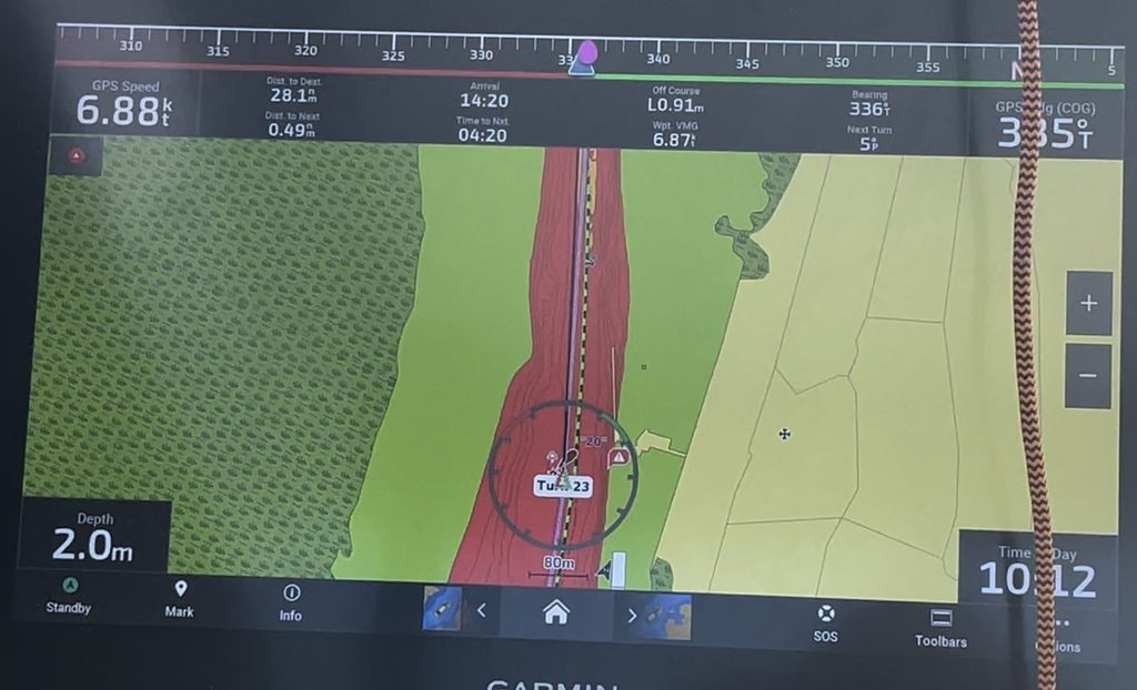
Bob builds his tracks along the ICW using USACE (U.S. Army Corps of Engineers) depth surveys, collected sonar data, dredging reports and feedback from online community members’ feedback/sounding logs so they are very up to date. He makes them available for free (or with donation) via his website and Facebook community. We downloaded them into our Garmin and ran our routes along his lines.
BUT, and this is important, those tracks don’t always follow the center of the channel. In some places, they’ll take you well across the centerline to find deeper water. That’s great until you encounter oncoming traffic. Keep your eyes up, pay attention, and don’t blindly follow that pretty little line on the chartplotter. The track is a guide, not a substitute for navigating and ALWAYS MONITOR CH 16 CONSTANTLY.
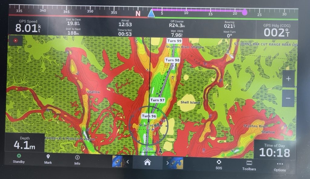
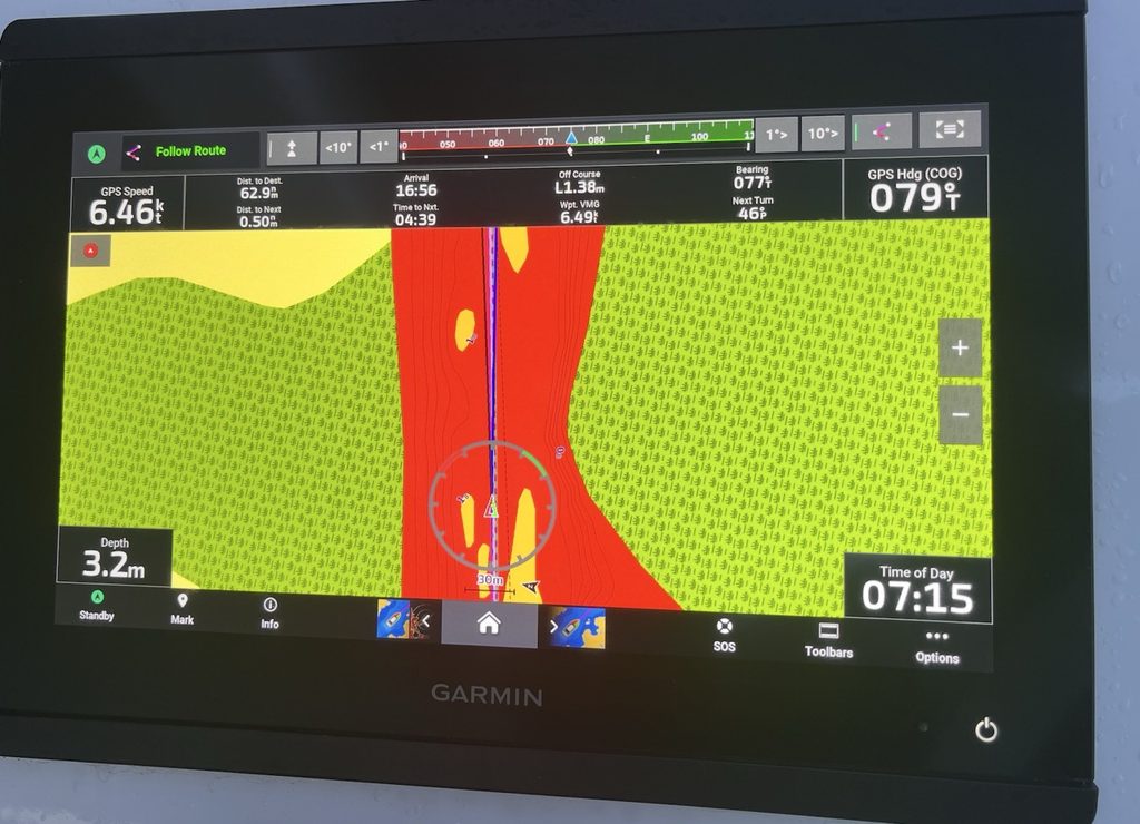
One of the things we did was set up our Navionics was change the color patterns on the “fishing chart” based on what we were comfortable with. Our draft is 1.8 meters. Red was 1.8 meters or less, essentially a “no go”. Orange was “mmm not great” at 1.8 – 2.5. Yellow was great for anchoring 2.5-3.5. Green 3.5-5m. Then it would be blue and white for very good water. This made it very easy to visually tell based on Navionics that we were comfortable…or if we should go very slowly.
And don’t forget TowBoatUS! Local captains can provide firsthand updates on ICW conditions, shoaling, and navigation hazards. A quick call could save you a lot of headaches!
3. The bugs are NO JOKE.
Seriously. THE BUGS.
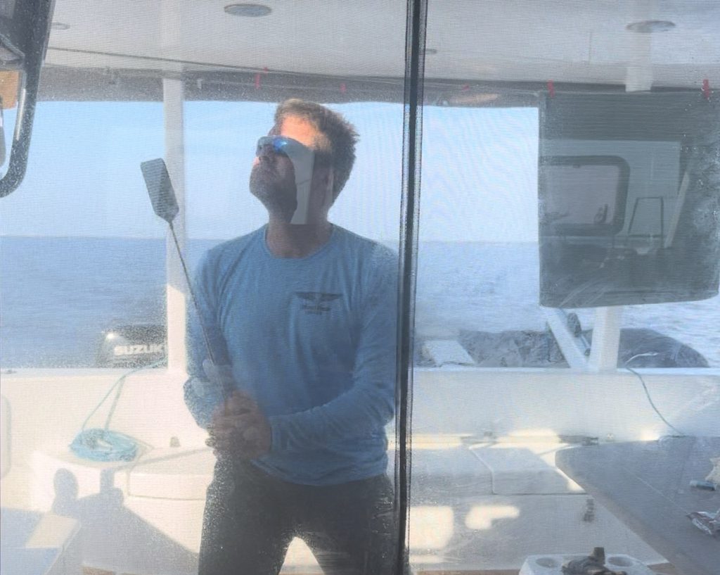
Much of the ICW winds through marshes, rivers, and low-lying wetlands, and in the summer, winds are often light and variable. Perfect conditions for every biting, buzzing, annoying insect in the neighborhood to come pay you a visit.
Bring screens, bug spray, fly swatter, and electric bug racket and whatever other defenses you’ve got will come in handy. You’ll thank us later. You can find true satisfaction with one of THESE gems.
4. Your diesel engines and hull paint job might not love this trip.
For much of the ICW, you’re motoring along at 5–6 knots, sometimes slower thanks to no-wake zones, traffic, bridges, and currents. For diesel-powered boats, extended periods of low-load operation can be problematic, particularly if the engines aren’t reaching their proper operating temperatures.
Carbon buildup and other maintenance issues can become a concern, so make sure you understand your engine manufacturer’s recommendations for prolonged slow-speed operation. When conditions and speed restrictions permit, running the engines at an appropriate higher load can help, but don’t just assume faster is better.
We had electric motors, so this wasn’t quite the same concern for us, but it’s definitely something diesel-powered cruisers should think about before setting off.
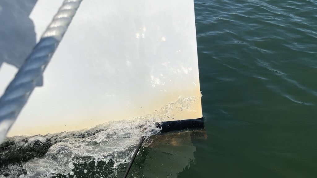
And PS…YES, the “ICW Mustache” is a thing, a lovely brown stain along the bow and waterline caused by an abundance of tannins in the water from decaying vegetation. It’s basically the waterway’s way of leaving you a nice hard to remove souvenir of your accomplishment, whether you want one or not!
5. Timing is EVERYTHING.
If you think you’ll travel 50 miles in a day because your boat cruises at 6 knots, think again!
Between tides, currents, shoaling, bridge clearances, opening schedules, and traffic flow, your carefully calculated arrival time can go right out the window. We would zoom along with a 2-3 kts push only to cross an inlet or incur the tide change and slow to a crawl!
For deeper-draft vessels, you may need higher tides to transit certain shallow areas. Taller boats may need lower tides to clear fixed bridges, while opening bridges operate on their own schedules. Throw in a few no-wake zones and an unfavorable current, and suddenly your plan isn’t coming to fruition and you may not make your anchorage/marina before nightfall.
Planning ahead helps tremendously, but flexibility is just as important.
6. Don’t forget about power lines!
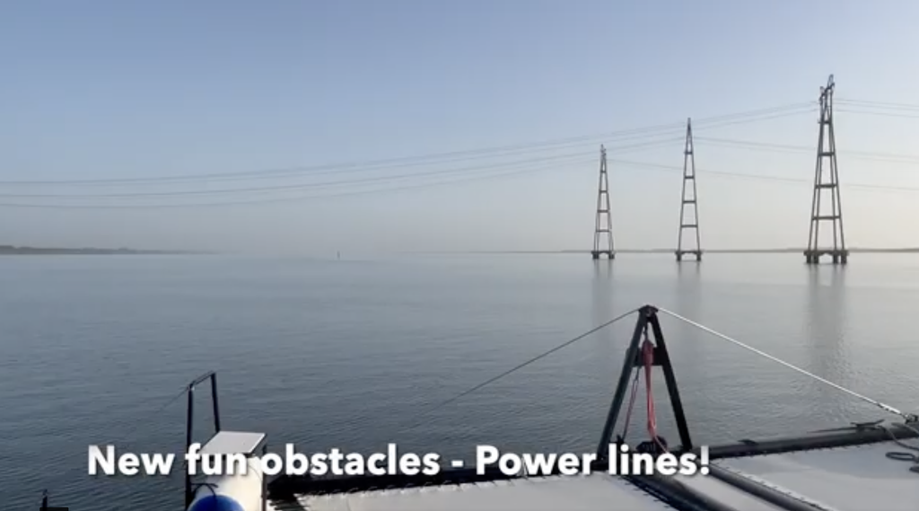
Here’s one we hadn’t given much thought to, mostly because we didn’t have a mast at the time.
Overhead power lines are another vertical-clearance consideration for sailboats. Unlike bridges, power lines carry an additional hazard: high-voltage electricity can arc through the air without direct contact under certain conditions.
Know your actual air draft, including antennas and instruments, and verify the published clearances. Never assume a power line is safe to pass beneath just because it looks high enough.
And speaking of mast height, we’ve heard of plenty of sailboaters removing wind instruments, antennas, or even repositioning their masthead VHF antennas (upside-down) to shave off a few precious inches. Every inch counts when you’re approaching a bridge that’s just a little too close for comfort.
7. The Virginia locks are easier than you might think.
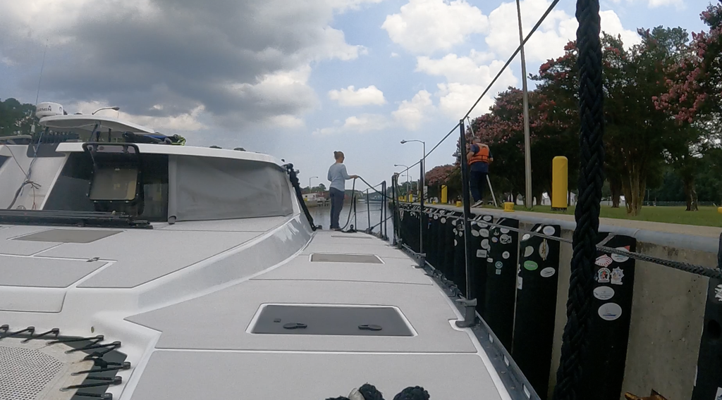
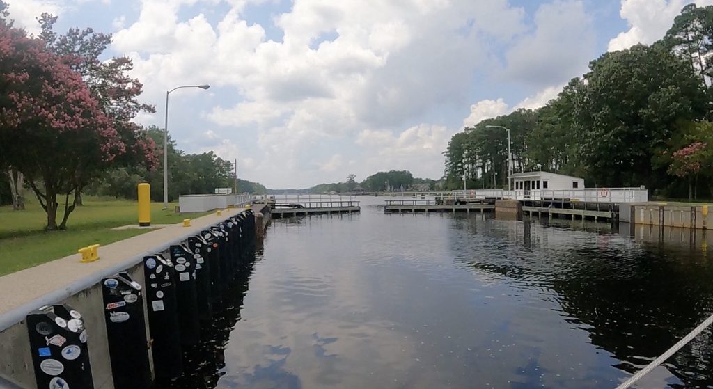
We found the locks in Virginia relatively straightforward, but they can get crowded, especially during the summer when recreational boat traffic is heavy.
Add commercial barges to the mix and things can get interesting! Have your lines and fenders ready, listen to the lock operator, and be prepared to wait your turn. It’s not difficult, but it does require a little patience and coordination.
We got lucky having a arrived a little early, we were the first in, so all the mayhem happened behind us 🙂
8. Have a Plan B. And maybe a Plan C.
One of the biggest advantages of the ICW is the number of places you can stop along the way.
But that doesn’t mean there’s always a convenient anchorage right when you need one.
We learned to look ahead at potential stopping points rather than committing to one destination. Weather changes, bridge delays happen, and sometimes you just don’t make the miles you’d hoped.
Knowing where you can safely pull off the waterway, especially when afternoon thunderstorms start building, makes for a much less stressful day. We added pins on our charts to denote places that would be good stopping points. We added home plates for our planned destination. We didn’t always end up there so it was nice to know we had options.
9. Don’t underestimate the current when anchoring or maneuvering.
Tides can change 8-9 feet in some areas around Georgia and South Carolina which can create surprisingly strong tidal currents, especially near inlets, bridges, and narrow passages. Add wind pushing from a different direction and things can get downright squirrely.
Pay attention to how the current will affect your boat when approaching docks, waiting for bridges, and anchoring. And remember that the current may reverse overnight, changing the direction your boat lies at anchor.
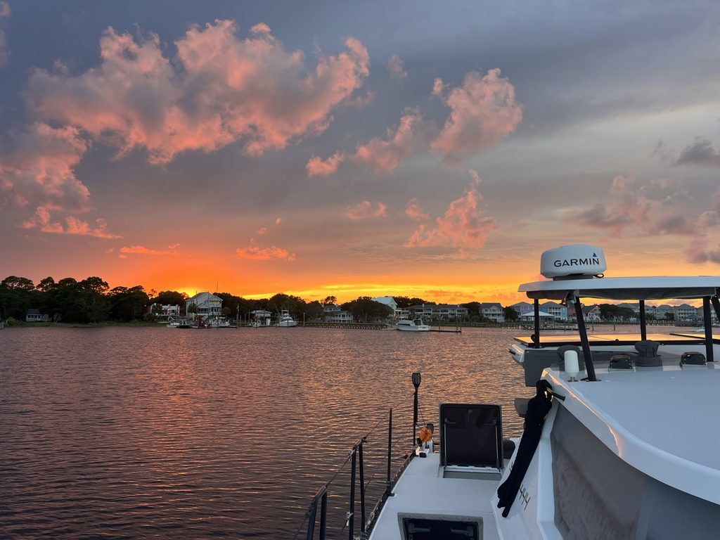
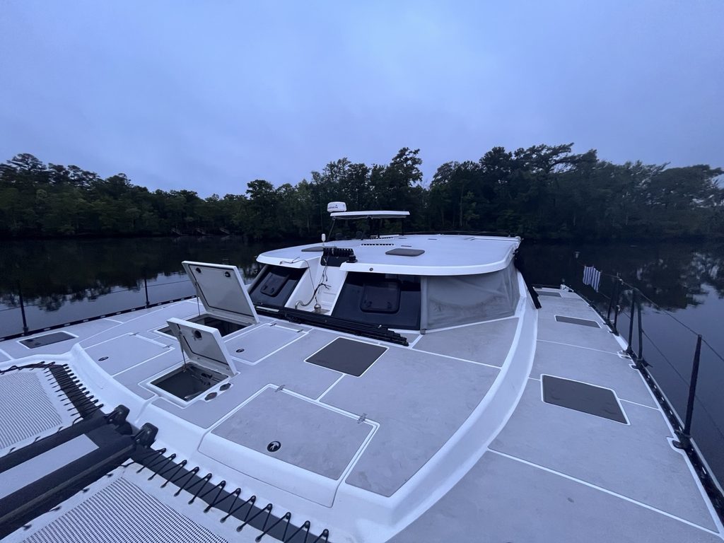
Without a Mast, our “white all around” anchor light” was almost non-existent on our wide low boat. We had solar tiki torches on each corner which made us very visible in the dark probably more so than a small white light. Great for early fisherman heading out not expecting a large boat in some of the more rural quiet areas.
One exception. may have been off a Marine base where V-22 Ospreys were practicing landings at night…we may have looked like a landing zone…more on that loud crazy night later…
10. Watch your wake (and everyone else’s).
Just because you’re on protected waters doesn’t mean you’re protected from other boaters.
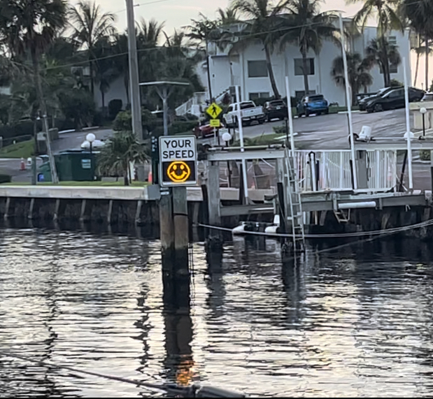
Between sportfishers, large motor yachts, commercial traffic, and recreational boaters enjoying their summer vacations, some sections can feel like a washing machine. Be courteous when passing slower boats, communicate when necessary, and keep an eye out for the big wakes headed your way.
Some areas get incredibly narrow and are shallow so there is not enough room with opposing traffic to get through safely. Be kind and communicate 🙂
11. Don’t forget to enjoy the ride!
This might be the most important tip of all.
It’s easy to get caught up in making miles, timing bridges, watching depths, and getting to the next anchorage. Especially when you’re on a deadline, like we were.
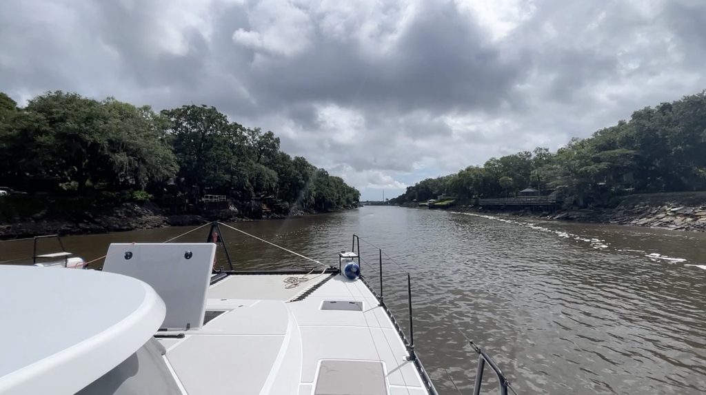
But the ICW offers a completely different perspective of the East Coast. Beautiful waterfront homes, quiet marshes, wildlife, little towns, and some pretty spectacular scenery. From South Florida’s mega-mansions, towering condos, and bustling waterways, the scenery gradually gives way to sleepy coastal towns, sprawling marshlands, winding rivers, lush forests, and stretches of wild, untouched shoreline. Along the way, you’ll pass everything from extravagant waterfront estates and historic southern towns to working fishing villages, industrial ports, and peaceful wildlife-filled waterways before reaching the busy maritime hub of Norfolk.
Despite the challenges, we LOVED our trip. There were frustrating moments, sure, but there were also plenty of days when we looked around and thought, How cool is it that we get to do this?
So do your homework, pay attention, be flexible, and most importantly…HAVE FUN!
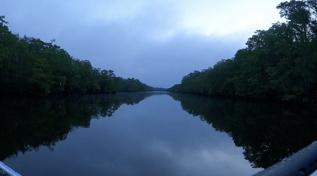
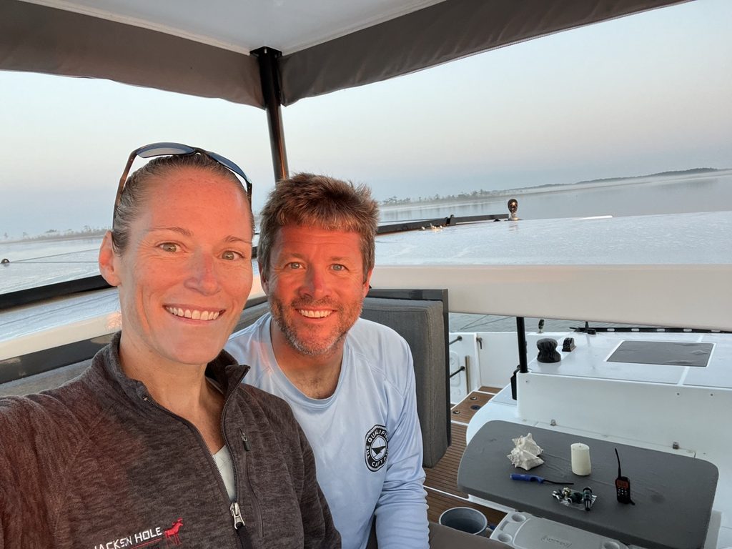
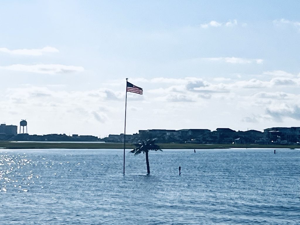
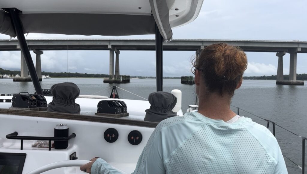
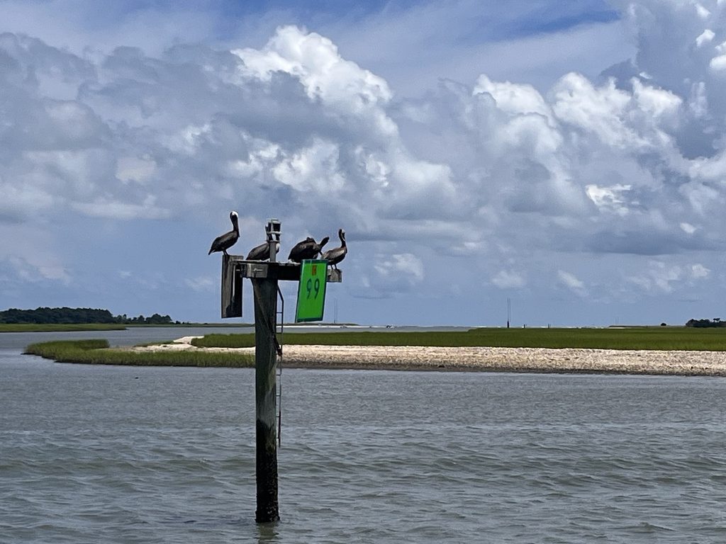
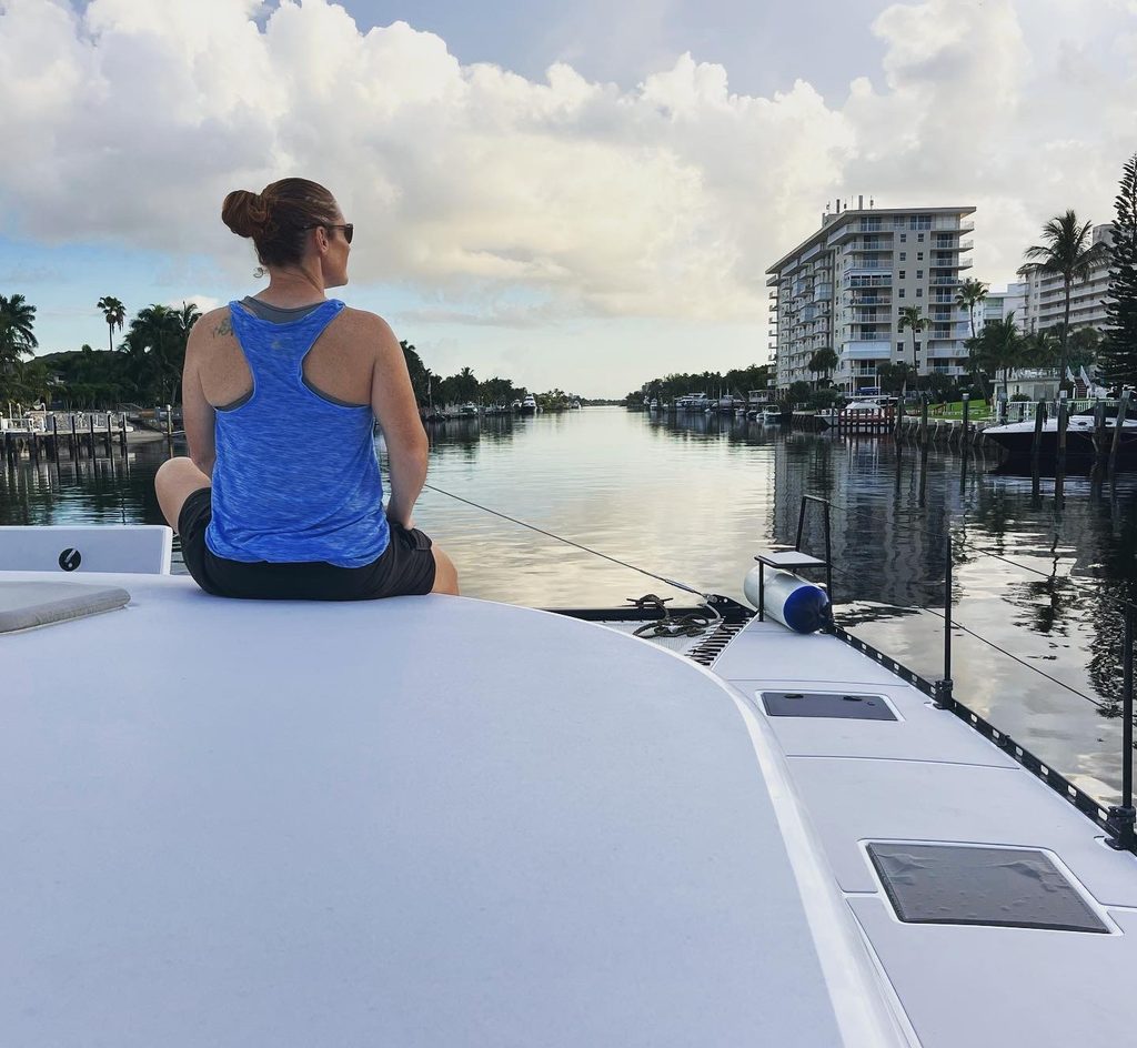
We were researched and ready. Did we make it? Stay tuned for how it went…
Discover more from Water Wings Sailing
Subscribe to get the latest posts sent to your email.